MAPS AT THE NATIONAL LIBRARY OF SCOTLAND
The National Library of Scotland has a huge collection of maps, which yield lots of local information. From ordnance survey maps, sea charts, geological maps, road and rail networks among others, there are over 150,000 historical maps that are freely available to you to download and print.
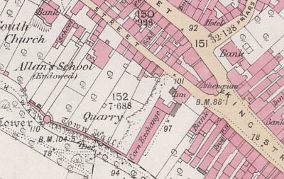
County Maps are maps of whole counties or regions within Scotland. These are often the most detailed maps of rural areas, before Ordnance Survey maps in the 1840s.

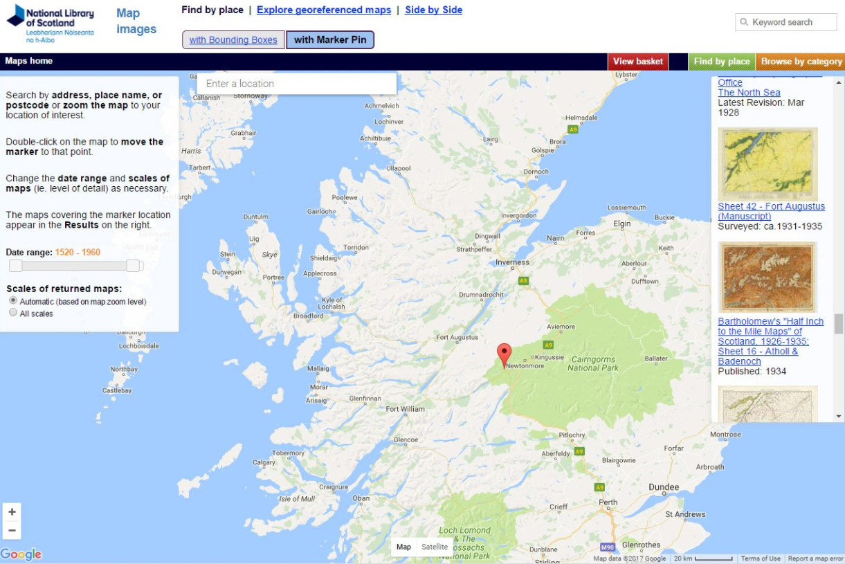
The new 'Find by Place' viewer allows you to find maps using a marker pin. Search by address, place name, or postcode or zoom the map to your location of interest.
The full range of maps can be accessed online by clicking the button below. You can also order copies for your own use.